DreamingHawaii.com » Hawaii Islands » Maui, Lanai, and Molokai » Lanai, the Private Isle » Best of Lanai
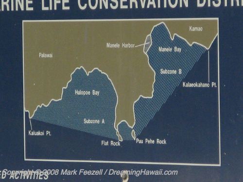
» Hulopoe District Map
Hulopoe District Map
| Page 10 of 10 | [Jump to article page] | |
 Previous |
|
This map of south-central Lanai shows Manale Bay Small Boat Harbor on the right and Hulopoe Bay on the left. Puu Pehe Cove is the small cove at the end of the peninsula in the center of the map. This ends our overview tour; explore Lanai further using the menus on this page.

|


